ecuadorian amazon day 2

kichwa girl

We started the day off with a half-hour motorized canoe ride down the Napo river to check out the Yasuni parrot clay lick.  The parrots apparently lick the clay from the cliffs to reduce the toxicity of some of the seeds that they eat.

parrots fleeing the parrot lick

The parrots (mostly green amazon parrots, with some yell0w-headed and blue-headed parrots as well) were clustered around the licks and hanging out in the trees until something scared them all away


the culprit - a short-eared zorroThe culprit – I think this is the short-eared dog (atelocynus microtis) aka the short-eared zorro or short-eared fox looking for a meal.  Apparently it is an elusive canid – many of the other pictures online were triggered by camera traps.


kichwa women dancing

Our next stop was to la comunidad anangu kichwa (also Quechua or Quichua in spanish) in the Yasuni National Park.  Our visit started with watching women perform a dance for tourists.  Interesting side note – there is a small movement among Kichwa speakers to change the spelling from Quechua to Kichwa as a political statement against the Spanish language, which was forced upon their ancestors.  Another interesting aside: there is a lot of untapped oil sitting under the reserve.  The Ecuadorian government is seeking some sort of international agreement to be compensated for not drilling in the national park to make up for lost income from the sale of oil.


kichwa girlKichwa child watching the ceremony.  We watched demonstrations of trapping and hunting methods and then a short traditional cooking demonstration.  We also tried some Chicha, a drink made of fermented yucca.  We tried some – it tasted slightly sour, not very alcoholic and a little milky, starchy and gritty.


pointing out birds from the tower

We returned to Sacha Lodge and climbed the metal canopy tower in the afternoon and looked at birds and monkeys.


canopy walk

The bridge between towers

canopy walk


sunset above the canopyand the view was amazing


into la amazonia – ecuador’s amazon basin

canoe ride

We flew from Quito to Coca (aka Puerto Francisco de Orellana), a small city that serves as a hub for oil companies and tourism activities.  Coca is a 27 minute flight from Quito, and for a while I wondered “Why even fly if it’s such a short trip?”  I learned later that although the distance between the two cities is only about 120 miles as the crow flies, it’s about 180 miles by driving.  The elevation drops from 9350ft to 834ft above sea level and it’s apparently a windy (as in following a curving or twisting course rather than marked by or exposed to strong winds) trip that takes 11 hours by bus.  Our guide also told us that it’s a scary trip.

clouds and water spray over the napo riverClouds.  Our lodge was about a 1.5 hour ride east by motorized canoe on the Napo River, a tributary to the Amazon River.


oil trucks on a barge on the napo river

We were never far from oil company influences.  There were many barges with trucks, tankers, and equipment as well as a number of gas flares that we saw along the way.  Apparently the flares (example here) are for burning off the natural gas that comes out of the oil well.  They haven’t built the infrastructure to capture the natural gas, so it is burnt off as waste.  It’s estimated that this type of flaring accounts for 1.2% of worldwide carbon dioxide emissions.  Our guide said that locals do not like the practice as it also attracts and kills native insects and birds that are attracted to the lights.  sadface.


hammock at sacha lodge

Our lodge had a back patio with a hammock and chairs.  how nice!


mariposario at sacha lodge

blue morpho butterfly chrysalises (chrysalides?)  in the marioposario


platform at sacha lodge

The sun deck at sacha lodge

canoe ride

Heading out for an evening canoe ride


stars and the milky way

The night was so free of ambient light and the first night so clear that we could see the milky way.


tarantula

Tarantula hanging out by the shower window

Canon EF-S 10-22mm f/3.5-4.5 lens disassembly and repair

I’m in the process of slowly modernizing my website.  This was originally posted on 02.03.07. 

A few months ago, I accidentally dropped my camera with my 10-22mm lens attached.  As I was picking up my camera bag, my camera fell out from about waist height because I hadn’t properly closed my bag. When I picked up my camera, I realized that the lens had sustained the brunt of the impact.  There was obvious mechanical damage and I could see ribbon cable where it shouldn’t have been.

So of course, I had to open it up,  Here are some photos from the disassembly and repair.  Ultimately, the lens had only sustained mechanical damage and I was able to repair it without much difficulty.

The broken lens

After removing the screws of the mount

Partially disassembled

You can see here that all three plastic mounts broke.

The focusing ring


Luckily, all of the broken pieces were still attached to the mounting screws.  I guess thanks go out to Loc-tite for that.

I mixed up some Scotch-Weld and let it set.

After a day or so, I sanded down the creases.  I put everything back together and it works great.

sunrise in quito over plaza de san francisco

sunrise over plaza san francisco

a few shots from a sunrise in quito, ecuador:

sunrise over plaza san francisco

sunrise over la plaza de san francisco as viewed from the luxurious mansion-turned-hotel casa gangotena.  Destroyed by fire in 1914, the mansion was rebuilt in 1926 by the prominent Gangotena family.  The mansion was sold and after a $10 million renovation, reopened in october 2011 as a hotel.

sunrise in the andes

a look to the andean hills/mountains dotted with colorful, boxy buildings


sunrise over the domes of la iglesia de la compania de jesussome lens flare as the sun rises over la iglesia de la compañia (the jesuit church: church of the society of jesus)

the fake-tree cell phone tower made me chuckle.


hacienda zuleta

hacienda zuleta cordia lutea - yellow geiger tree?

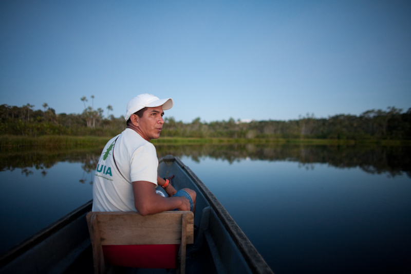
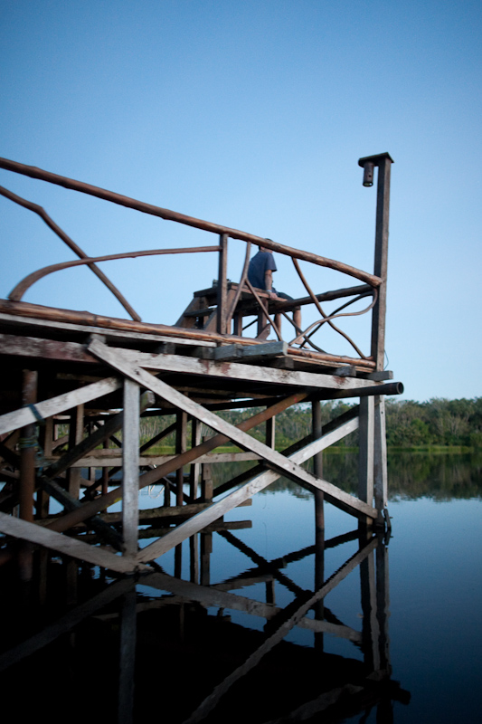
We made a short day visit via congested highways and a bumpy dirt road to Hacienda Zuleta, self-described as a “17th Century Luxury Eco-farm” in northern Ecuador, about 2 hours northeast of Quito.  They grow almost all of the food that they serve, with one exception being rice.   They’ve got a giant worm-composting area for treating compost and manure.

We did not spend more than a few hours here, but it was a beautiful, beautiful place.

dog at hacienda zuletawelcoming dog, on bench


hacienda zuleta reception
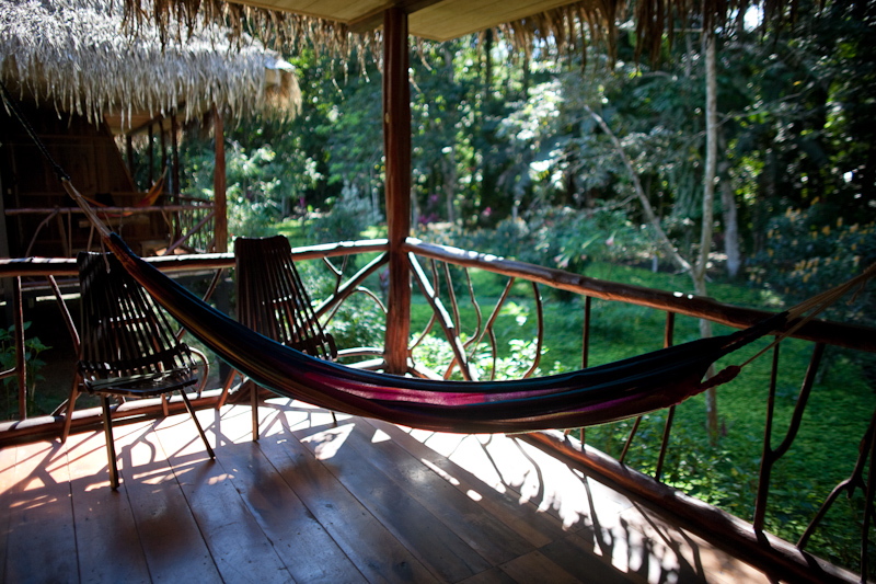
really nicely done interiors


hacienda zuleta rosesroses everywhere


hacienda zuleta geraniumsgeraniums.  I don’t really like geraniums as plants but they worked really well in this bright walkway.


hacienda zuleta libraryroses in the library


hacienda zuleta


hacienda zuleta dogsleeping dog.  look at those paws!


hacienda zuleta cordia lutea - yellow geiger tree?I think this is a yellow geiger tree – cordia lutea


hacienda zuleta churcha small church


hacienda zuleta flower


hacienda zuleta cheese factory coatsthere is a small cheese factory at hacienda zuleta.  these are labcoats for their tours.  milk is sourced from their own cows and they buy additional milk from local families in the village.


bizcocho in cayambeon the way back to Quito, we stopped in Cayambe for bizcocho.  they were buttery and crumbly and more savory than sweet with a hint of anise.


bizcocho in cayambebizcochos calientes, as the neon sign indicates


ridiculous sunsetas we continued south, we were treated to a ridiculous sunset over the western andes


chifa fenix and cayambe

Just got home from Ecuador a few hours ago.  There are many photos to share but here are two from our first full day there:

Chifa Fenix in Cayambe, Ecuador.  An hour or two northest of Quito.  Seeing “Chifa” made me wonder about the origins of that word.  The wikipedia link says that it’s basically Chinese food adapted to Peruvian (or Ecuadorian) ingredients.


El Volcan Cayambe – the third highest volcano/mountain in Ecuador at nearly 19,000 feet.  Its last known eruption was in 1785-1786.  The fast-moving clouds broke for just a few seconds.