We flew from Quito to Coca (aka Puerto Francisco de Orellana), a small city that serves as a hub for oil companies and tourism activities. Coca is a 27 minute flight from Quito, and for a while I wondered “Why even fly if it’s such a short trip?” I learned later that although the distance between the two cities is only about 120 miles as the crow flies, it’s about 180 miles by driving. The elevation drops from 9350ft to 834ft above sea level and it’s apparently a windy (as in following a curving or twisting course rather than marked by or exposed to strong winds) trip that takes 11 hours by bus. Our guide also told us that it’s a scary trip.
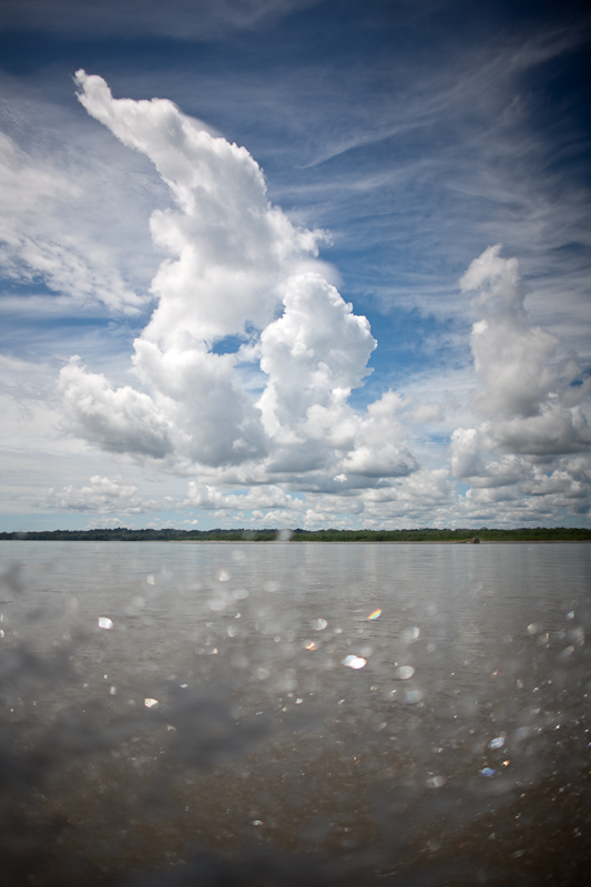 Clouds. Our lodge was about a 1.5 hour ride east by motorized canoe on the Napo River, a tributary to the Amazon River.
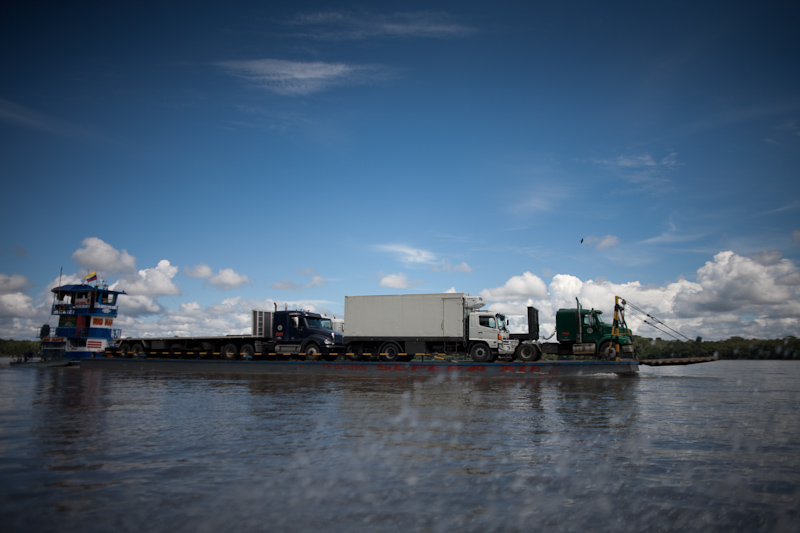
We were never far from oil company influences. There were many barges with trucks, tankers, and equipment as well as a number of gas flares that we saw along the way. Apparently the flares (example here) are for burning off the natural gas that comes out of the oil well. They haven’t built the infrastructure to capture the natural gas, so it is burnt off as waste. It’s estimated that this type of flaring accounts for 1.2% of worldwide carbon dioxide emissions. Our guide said that locals do not like the practice as it also attracts and kills native insects and birds that are attracted to the lights. sadface.
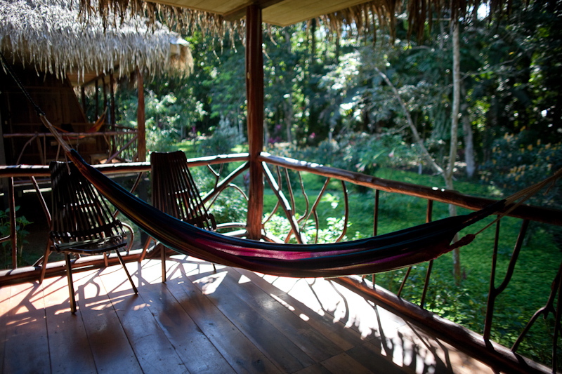
Our lodge had a back patio with a hammock and chairs. how nice!
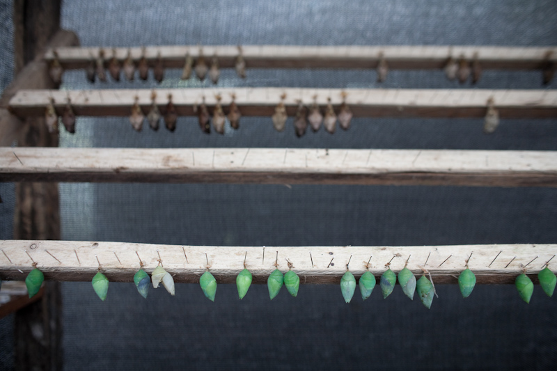
blue morpho butterfly chrysalises (chrysalides?) in the marioposario
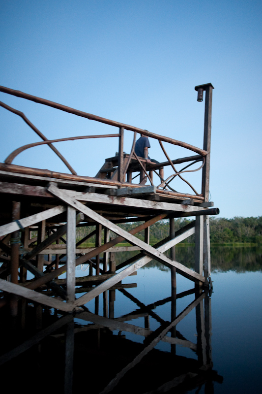
The sun deck at sacha lodge
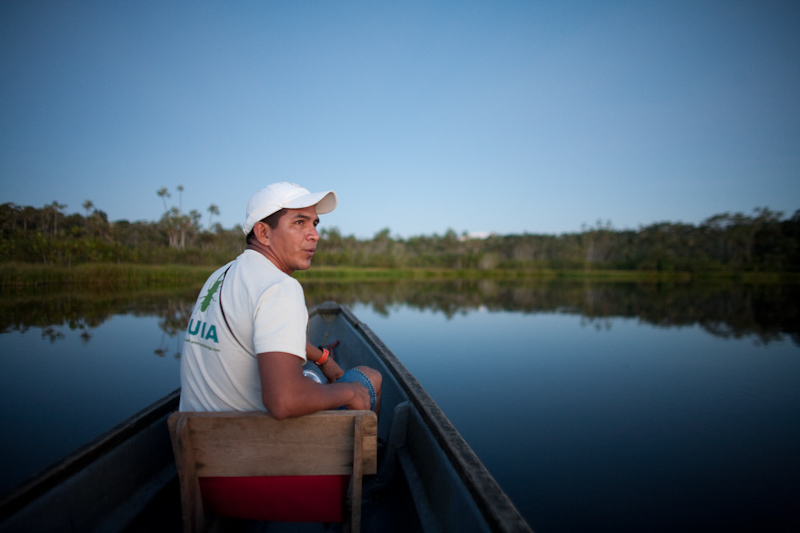
Heading out for an evening canoe ride
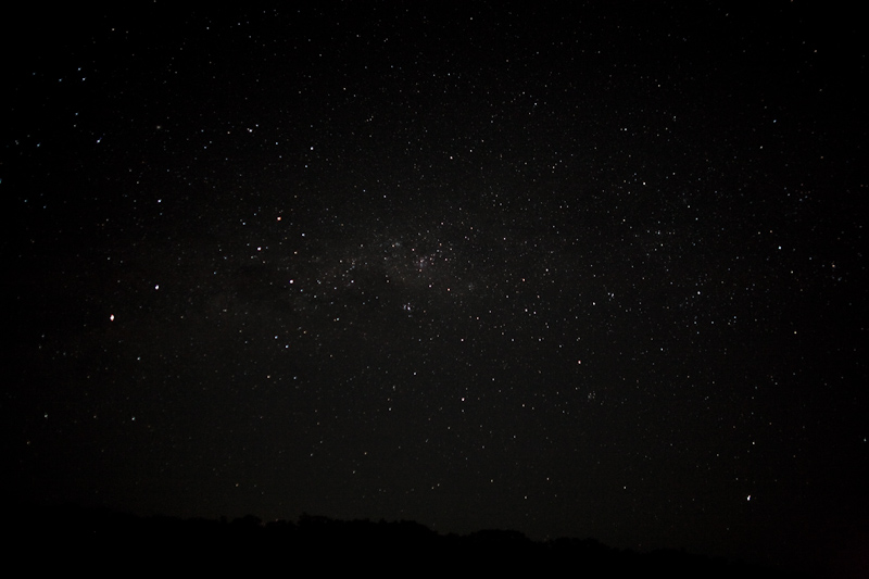
The night was so free of ambient light and the first night so clear that we could see the milky way.
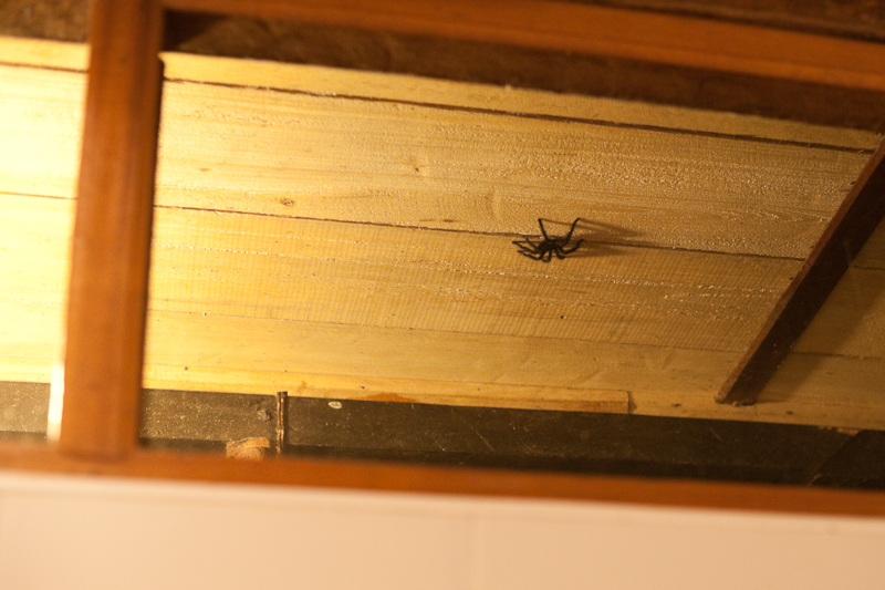
Tarantula hanging out by the shower window